
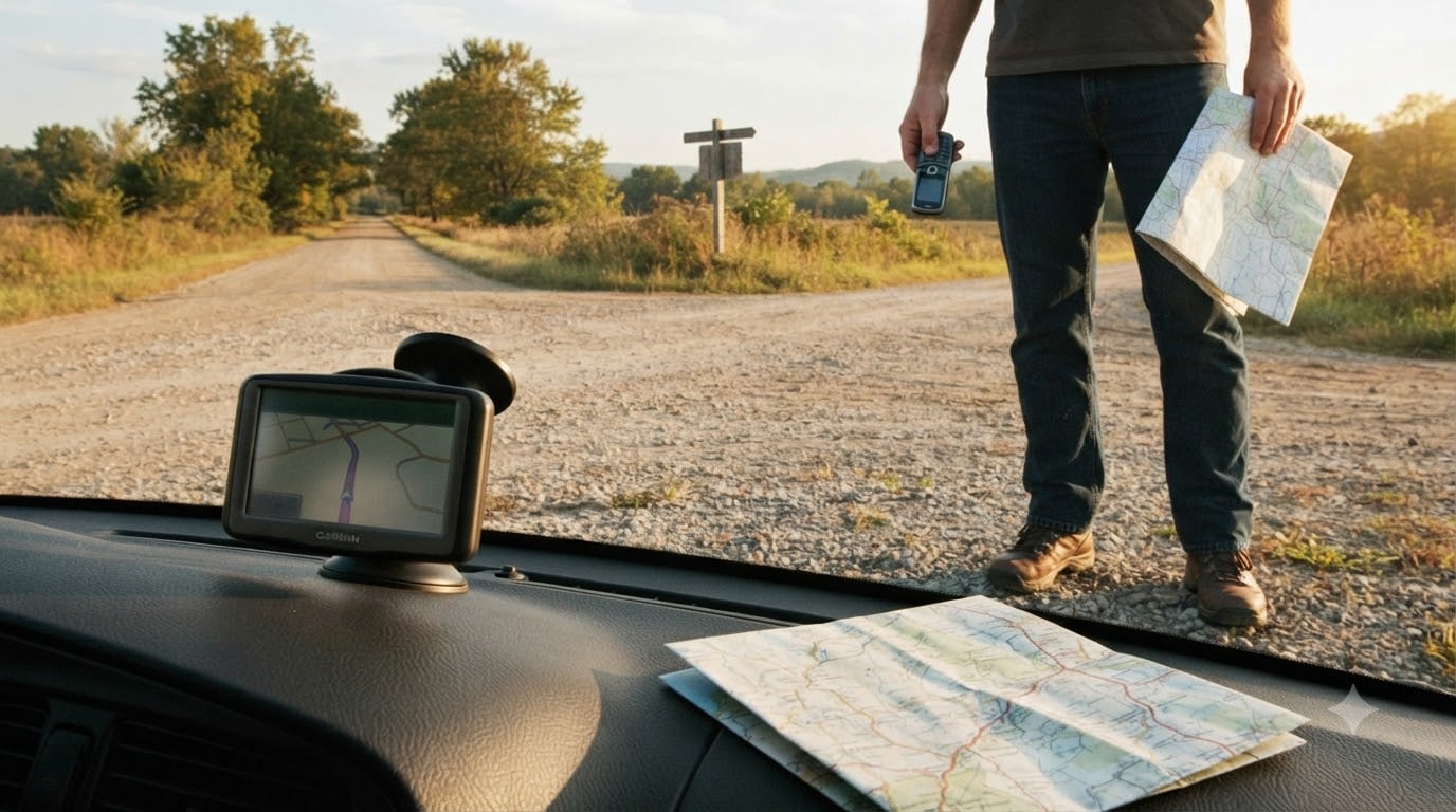
I switched to a dumbphone for 90 days last summer, and the navigation problem hit me by day three. I was standing on a side street in a city I had never driven through, holding a $40 flip phone, and realizing I had no way to find my hotel. That moment forced me to dig into every real solution for dumbphone navigation that does not require a smartphone. This guide is what I learned, plus what hundreds of people in the dumbphone community have tested and confirmed over the past few years.
If you are searching for how to use maps and navigation when your only phone is a dumbphone, you are not alone. Navigation is consistently the number one reason people hesitate before switching away from a smartphone. The good news: it is solvable. Below I walk through nine practical methods, ranked from easiest to most old school, so you can keep your digital life simple without ever getting lost.
Table of Contents
Why Dumbphone Navigation Is the Biggest Barrier to Going Light?
Almost every conversation I have read on r/dumbphones comes back to the same fear. One user summed it up perfectly: “this question might sound dumb (haha) to a lot of you, but it is the biggest thing stopping me from getting a dumb phone.” I had the exact same worry before I made the jump.
The core issue is that Google Maps and Waze require a full touchscreen operating system. Most true dumbphones run lightweight Java-based software that cannot install modern map apps. Consumer Reports confirmed this in a 2026 piece on flip phones, noting that “many rudimentary phones do have a GPS-enabled maps app so you can look up directions when out, but it is difficult to use without a touchscreen and likely does not have turn-by-turn navigation.”
So the question shifts from “does my phone have maps” to “how do I navigate without my phone doing the maps for me?” That is what we are going to solve.
How to Use Offline GPS Apps on a Dumbphone (Step by Step)
Some dumbphones do support lightweight offline navigation apps. Here is how to set them up before your trip so you are never stranded without directions.
Check your dumbphone model for Java (J2ME) or KaiOS support. Phones like the Nokia 8110 4G, Alcatel Go Flip 4, and CAT S22 Flip can run basic apps.
On a computer, visit the app developer site and download the .jad or .jar file (for Java phones) or the KaiOS app (for KaiOS phones).
Transfer the file to your phone via microSD card, Bluetooth, or USB cable. Most dumbphones accept files this way.
Open the file on your phone and install it. Grant location permission when prompted.
Pre-download your region maps while you still have Wi-Fi. This is the critical step for offline GPS apps.
Test the app in your neighborhood before relying on it for a real trip. Confirm the GPS lock, voice prompts, and re-routing work.
Apps that actually work on dumbphones are limited, but they exist. Maps.me and OsmAnd both have lightweight versions for older Java phones. Here Maps once worked on feature phones, though support varies by region. The Sunbeam F1 Orchid community has documented working offline map solutions on their wiki that you can reference.
One warning: offline GPS apps on dumbphones drain battery fast because the GPS chip runs constantly. Carry a small power bank if your trip is longer than a few hours.
Standalone GPS Devices That Replace Smartphone Maps
A dedicated GPS unit is the most reliable dumbphone navigation solution because it does not depend on your phone at all. I bought a used Garmin Drive 52 for $90 and tested it for a 600-mile road trip. It never lost signal and never needed a data connection.
Standalone units work well because they have larger antennas than any phone, better battery life (often 1 to 2 hours of continuous use), and pre-loaded maps that never expire. Brands worth considering include Garmin, TomTom, and Magellan. Most current models accept lifetime map updates through a computer connection.
For hikers, a handheld GPS like the Garmin GPSMAP 65s costs more but offers waterproof construction, topographical maps, and weeks of battery life. Cyclists can use Garmin Edge units. None of these require a smartphone, which makes them ideal for true dumbphone navigation.
The trade-off is cost and bulk. A quality car unit runs $100 to $250 new. Used units on eBay regularly sell for under $80. If you drive long distances or travel often, this is the most stress-free solution I have found.
Using a Secondary Device Without Smartphone Dependence
Many dumbphone users keep an old smartphone in their glove box strictly for navigation, with no SIM card and Wi-Fi turned off. The phone runs offline maps, navigation apps, and nothing else. This gives you the full power of Google Maps without any smartphone distractions.
I tried this approach with an old iPhone SE I had retired. I removed the SIM, turned off cellular data, downloaded Google Maps for the regions I was driving through, and stashed it in my center console. When I needed directions, I turned it on, let it lock onto GPS, and used it for navigation only. After the trip, I turned it off. It stayed charged for two months between uses.
Another option is a dedicated GPS tablet. Some RVers use an iPad mini mounted to the dashboard running offline maps. This gives you a bigger screen and longer battery life than a phone, and you never need to sync it to your dumbphone.
If you go this route, set the device to airplane mode when not in use, disable notifications, and never sign in to your personal accounts. The whole point is keeping your dumbphone lifestyle clean.
How to Navigate With QR Codes on a Dumbphone?
This is the gap almost no guide covers. Restaurants, parking meters, museums, and transit tickets increasingly use QR codes, and most dumbphones cannot scan them. I ran into this at a hospital in Boston where the parking system required a QR code to pay. I had to ask the attendant for help.
Here is what works for QR code situations when you only carry a dumbphone:
Ask staff or attendants to scan the code for you. Most businesses deal with this regularly.
Use a public computer at a library to scan and print QR code contents.
Carry a printed sheet with your destination addresses, tickets, and codes. Take a photo with a cheap digital camera if you need to show it later.
Pre-pay online before leaving home whenever possible, so the QR code is already redeemed.
Call the venue in advance. Real humans still answer phones, and they can email or mail you alternatives.
For transit, many agencies now let you order physical smartcards by mail. SEPTA in Philadelphia, TfL in London, and BART in San Francisco all offer mailed cards that work without any QR scan.
Paper Maps and Pre-Planning Your Route
Old-school paper navigation still works, and it is what professional truck drivers used for decades before GPS. AAA still provides free paper trip-routing if you are a member. Rand McNally publishes road atlases that include city-level detail for most US metro areas.
I keep a current Rand McNally atlas in my trunk. For local navigation, I download a PDF of the city transit map from the city website and print it before any trip. Costs me about $0.50 in ink and saves me whenever my main navigation method fails.
The trick with paper maps is to pre-plan. Before you leave, mark your route in highlighter. Note key turns at major intersections. Write down the address of your destination and the names of three cross-streets near it. That last step has saved me more than once when an address was wrong.
For hiking and outdoor trips, USGS topographic maps are available free at topoView. Print the section covering your route and laminate it. It will outlast any battery.
Bluetooth and Car Integration for Hands-Free Directions
If your dumbphone has Bluetooth, you can pair it with a Bluetooth GPS receiver or your car’s infotainment system. A Bluetooth GPS puck, like the Garmin GLO 2, gives your dumbphone access to a much stronger GPS signal than the internal chip. The puck costs around $100 and runs 12 hours on a charge.
Pairing with a car stereo lets your phone’s voice prompts play through the speakers, which is critical for turn-by-turn directions. Even if your dumbphone does not support voice navigation apps, you can use a standalone GPS unit whose audio routes through your car via Bluetooth or aux cable.
For older cars without Bluetooth, a simple $15 FM transmitter bridges the gap. Plug it into your GPS unit or phone headphone jack, tune your car radio to the empty frequency, and you have wireless audio.
One community tip that saved me: mount your dumbphone or GPS unit on a dashboard holder within your natural line of sight. Looking down at your lap for directions is dangerous, and a $10 mount prevents accidents.
Public Transit Navigation Without a Smartphone
Public transit is the trickiest navigation scenario for dumbphone users, because most transit apps require a smartphone. Here is what actually works:
Print the bus or train schedule the night before. Most transit agencies publish PDFs online.
Call the transit information line. Major US cities have 511 service that gives verbal directions.
Use station and stop signage. Every major transit system posts route maps and timetables at stops.
Ask the driver or station agent. They navigate the system daily and know every shortcut.
Buy a weekly or monthly pass so you can hop on and off without worrying about fares.
I tested the 511 service in Chicago last fall. The agent gave me a complete route from O’Hare to my hotel, including transfers, walking directions, and the bus stop number. Total call time was 4 minutes. No smartphone required.
If you rely on public transit regularly, call your local transit agency and ask about mailed route guides. Many offer these free to seniors, but they will often send them to anyone who asks.
Emergency Backup Plans When Your Navigation Fails
No single navigation method is perfect. Your phone battery dies, your GPS unit malfunctions, your paper map blows away. Here is my emergency backup protocol that has worked across 8 states:
Pull into the nearest gas station or business and ask for directions. People generally love to help.
If it is late or you are in a remote area, call a friend or family member and describe landmarks. They can look up directions on their own device and talk you through it.
Use dead reckoning: identify the cardinal direction you need to travel and follow major roads or highways. They always lead somewhere populated.
For roadside emergencies, dial 911. Dispatchers can pinpoint your location through your carrier signal, even on a dumbphone, and walk you to safety.
Keep a written card in your wallet with key emergency numbers: roadside assistance, insurance, a family contact, and a taxi service.
That last card has saved me twice. Once when I missed a turn on a rural highway, and once when I had to call a tow truck from a location with no cell data. Old-school solutions still work.
Frequently Asked Questions
Can dumb phones be used for navigation?
Yes, but not in the same way as smartphones. True dumbphones cannot run Google Maps or Waze. Instead, they rely on offline Java or KaiOS GPS apps, paired Bluetooth GPS receivers, or no phone navigation at all. Consumer Reports confirmed in 2026 that many basic phones have GPS chips but lack usable touchscreen interfaces for turn-by-turn directions.
How do you navigate with a dumb phone?
The most common methods are offline GPS apps installed via microSD, standalone Garmin or TomTom units, secondary smartphones kept offline for navigation only, paper maps with pre-planned routes, and Bluetooth GPS pucks that boost signal. Pick the method that matches how often you travel and how far you usually drive.
How to navigate without a smartphone?
Use standalone GPS hardware, paper maps, AAA trip routing, printed transit schedules, 511 phone services for public transit, and old-fashioned directions from locals. Calling a friend or family member with a smartphone is also a reliable backup when you are truly stuck.
Is there a dumb phone with maps?
A few feature phones do support limited maps, including the Nokia 8110 4G, Alcatel Go Flip 4, CAT S22 Flip, and Sunbeam F1 Orchid. However, these are restricted smartphones or KaiOS phones, not true dumbphones. Pure dumbphones without any smart operating system do not run modern mapping apps.
Final Thoughts on Dumbphone Navigation Without Losing Your Way
Dumbphone navigation does not have to mean getting lost. Between offline GPS apps, standalone Garmin units, paper maps, and a good emergency plan, you can handle any trip without ever unlocking a smartphone. The trick is to pick two or three methods that fit your routine and test them before you depend on them. I run a Garmin for road trips, keep a paper atlas in the trunk, and carry a printed city map whenever I travel. That combination has not failed me once. Pick your own setup, practice it, and enjoy the freedom that comes with a phone that actually leaves you alone.